Pages

Monday, October 30, 2023

Day 10 Wanaka to Queenstown

Distance: 90 km
Time: 6 hours 13 minutes
Travel Modalities: Cycling, a few hundred meters downhill gravel walking
Gradual uphill out of Wanaka and I reach a closed Cardrona Inn. I head across the street to the Cardrona General Store. I am majorly letdown. After coffee and banana bread, I discover the Cardrona Inn closed sign was from yesterday and I'm just a few minutes early. I poke my head inside, there's no food yet. 
I continue up the hill. I've ridden this one on a tandem. I am not worried. But as it gets steeper, I conclude I was much younger the last time. And it was the first ride of the tour, not the last. And Nico had hired a personal trainer and had monster calves. The last few km are much worse than I remember.

My brakes aren't working well at the top of the hill and they're gone by the bottom. I eventually slow to a stop and touch the front rotor, which burns my finger. I take pictures of sheep and vow not to use the brakes for a while.
I stop at a gate to a 4wd track I am supposed to take. A woman in an SUV tells me to be careful because the track is washed out. I proceed until it starts to get rough and a local tells me it's time to walk. I pass some Germam cyclists walking up. They want to know how long it's steep for. They're going to Wanaka. I have bad news for them, but they speak little English.

I stop in Arrowtown for New Zealand's best pie. (Actually, two of them, but who's counting?)
I eventually admit that I can no lomger stop and make some.brake repairs. I am not an expert with disc brakes, but I bring them back and am angry I didn't do this days ago. I am also thankful I didn't die descending the Crown Range.

I cross the shotover six times. I become more daring on the gravel now that my brakes work.
I stop at the airport to make sure Air New Zealand has a bike box for my flight out. I end up on the highway, but decide the gravel path was more pleasant and rejoin it.
The path gets more crowded. Eventually, I am unable to ride and dismount. I walk to the beach. I am done.

Relive Video

Day 9 Haast to Wanaka

Distance: 150+ k
Time: 9 hours 18 minutes +
Travel Modalities: Cycling, maybe 30 m of walking when death seemed imminent.

Not quite as cold as yesterday, but still incredibly uncomfortable for anyone hailing from Maui. I stop to photograph the full moon because once again, I've left too early.
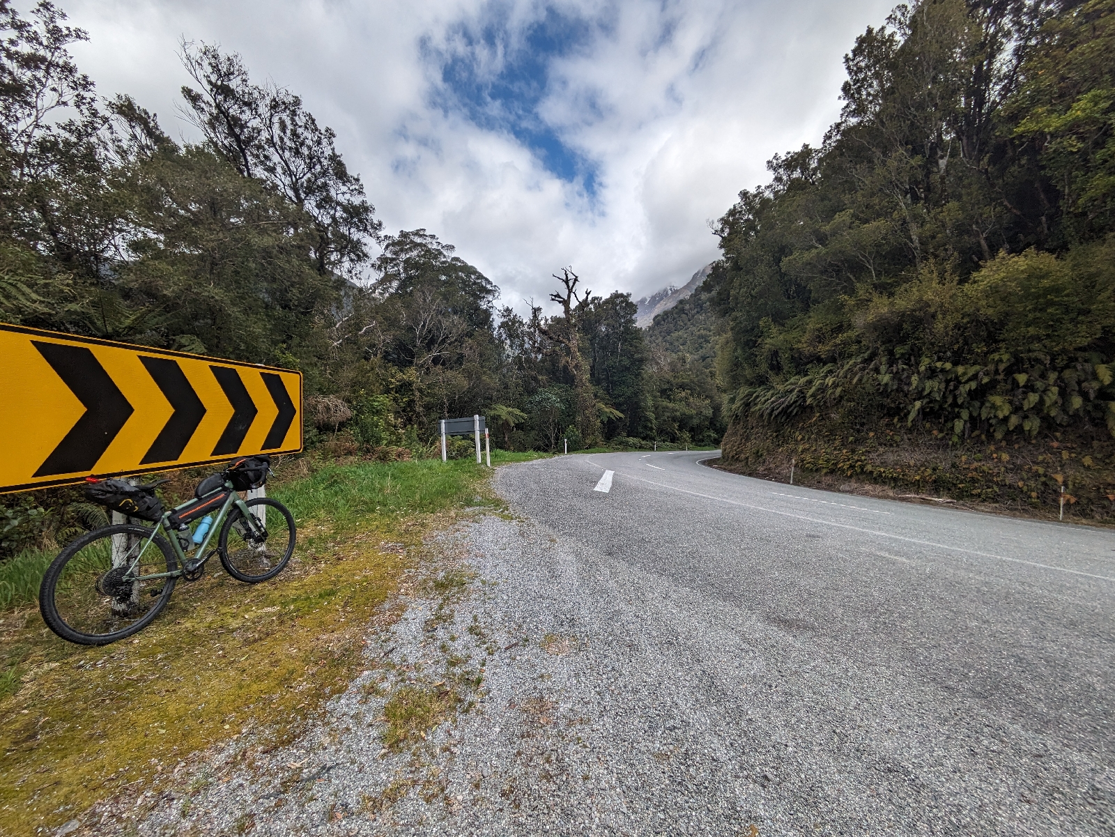
My bike gets pushed to the left by some invisible force. I look around to see what's happening and then I turn into the headwind. I am distraught. My strategy for days with hills is to expend no energy until the hill. The monstrosity called Haast Pass is 50 km away. I hope the sun will come up and the wind will diminish. There is no shelter anywhere and I need chocolate. This is the first time I intentionally lay the bike down. I have so much mounted to the fork, I am unsure if I can safely do this.
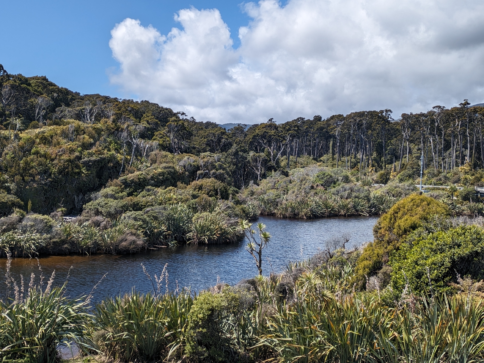
The road is much like riding to Hana. I follow a river forever. There are waterfalls flowing off the hills. The mountains are much higher than in Hana and covered in snow.
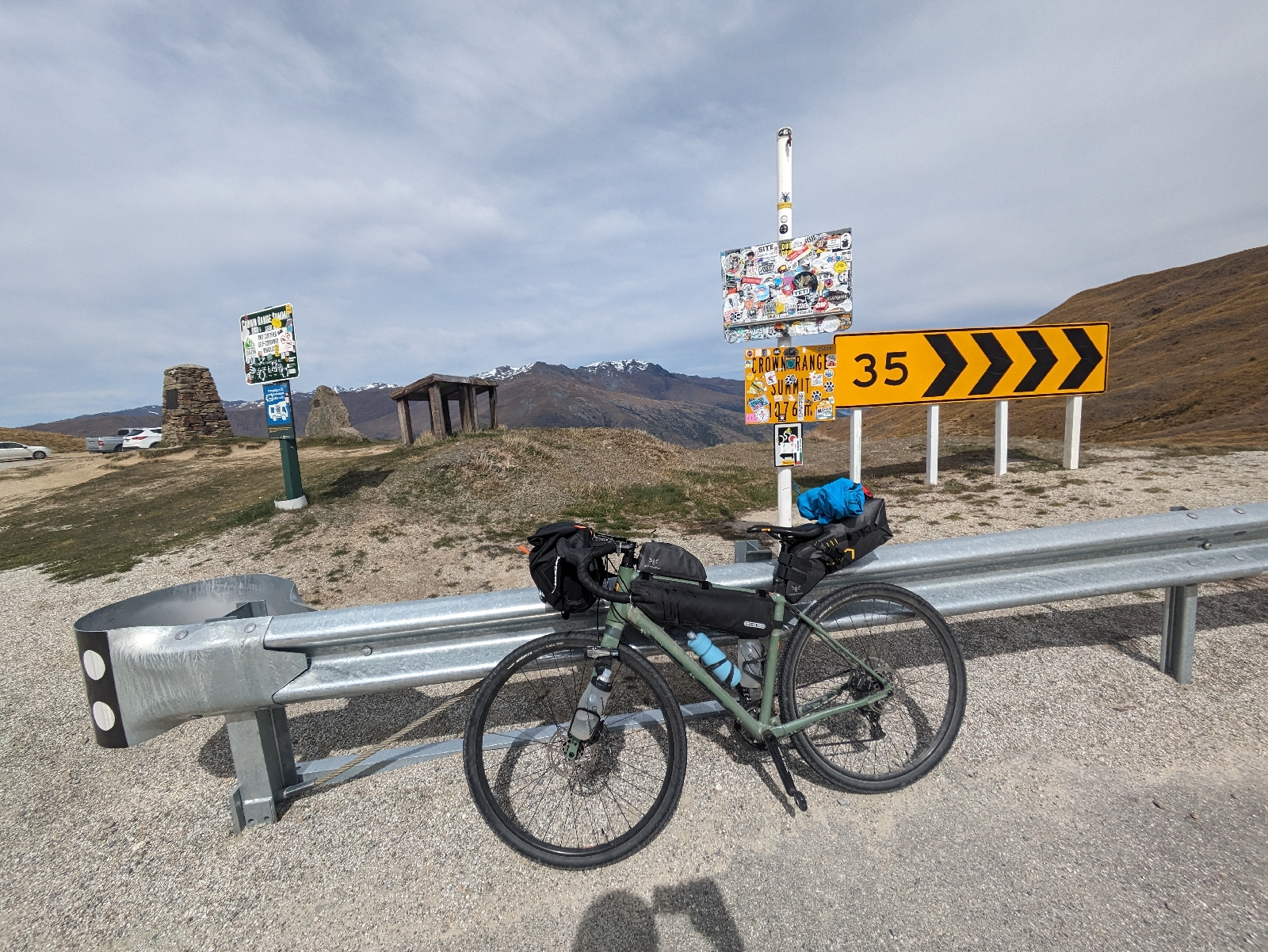
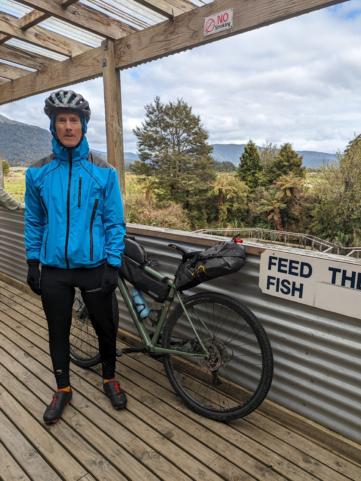
The climb is the steepest I've ever not walked up. Maybe it would have been easy early in this trip or without the 20 something pounds of luggage. I plan on walking when the Garmin says I'm at 12% and it gets steeper. Instead I stand and sort of walk in the pedals. I stop looking at the Garmin. Kilometers go by. I reach a plateau.
There's a stone sign at the pass poiting to Westland in one direction and Otago in the other. 
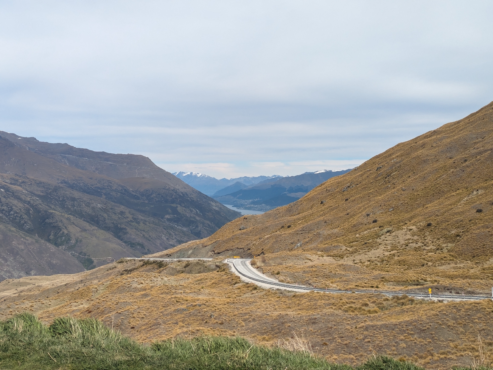
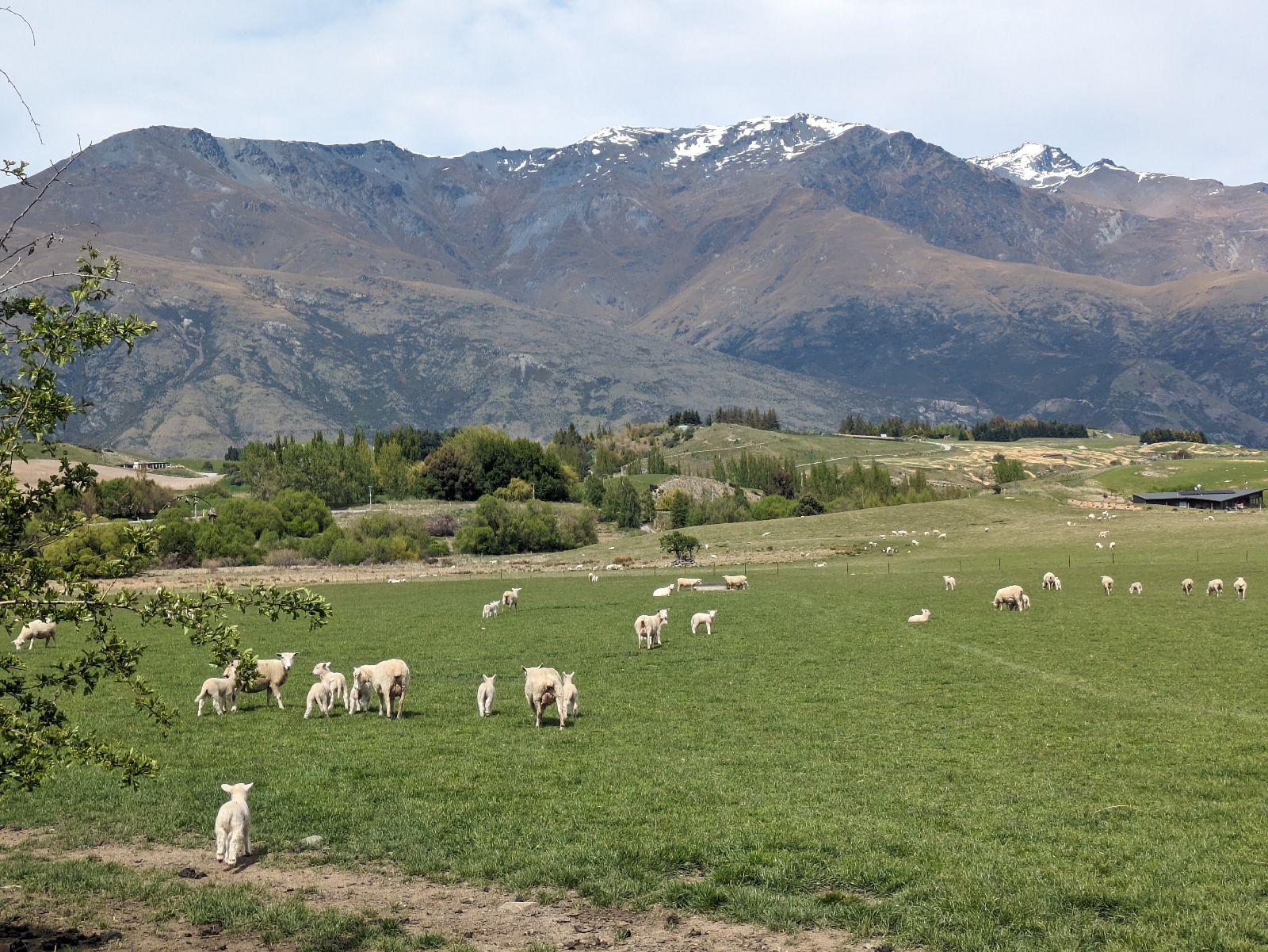
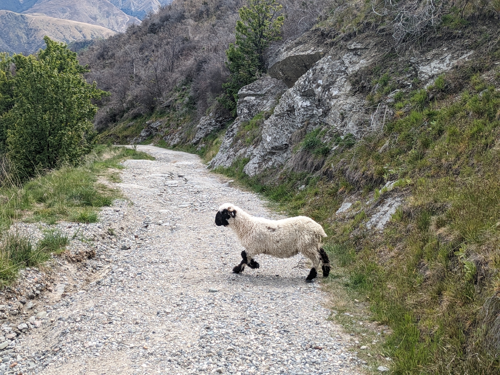
The West Coast is beautiful in a rugged way, but I'm instantly reminded that they call this area Godzone as I cross the pass (maybe that's the whole country, but I always think Otago). I try to photograph some sheep for Nico.
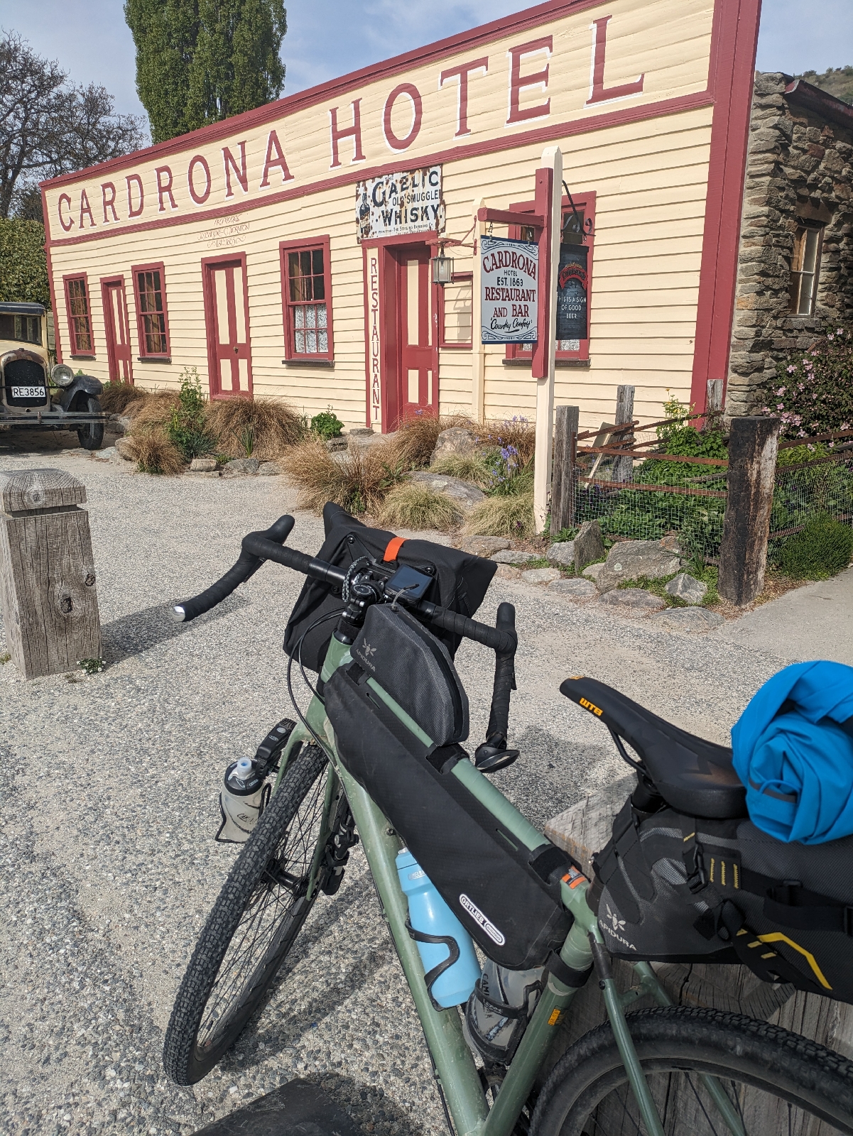
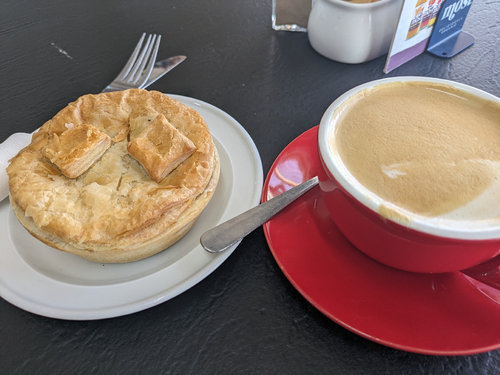
I stop in the first town I've seen in 60 km. And by town, I mean there's a cafe. It is overrun with Americans on a tour bus. The kitchen is closed while the tourist are there, counter items only. The cashier asks the cook if they'll make an exception, but another bus is on the way. They can't have me eating pancakes when everyone else has to have sausage roles. I order a cheese toasty and a flat white. I eat a lot of chocolate today.
I ride along Lake Wanaka for an hour. The beauty of the lake is impossible. The road is windy and narrow and I don't know where the cars have come from as there were none in Westland, but they're all in a hurry. All of that to say, I am unable to take any photos until I get to the uglier part of the lake.
I pass the Neck, the road between Lake Wanaka and Lake Hawea. There's not a lot of shoulder so I don't stop here. You can see both lakes from the spot, but it's less impressive than it sounds because they're in opposite directions. Unless you're a goldfish, you can only see one lake at a time.

I resist taking pictures of sheep, as I remember our first tandem ride was Wanaka to Lake Hawea and there were sheep everywhere. I assume I'll see more. [See below]

I reach the town of Lake Hawea. There's a hotel with a restaurant that's probably not open and a store/cafe. I had planned on sleeping here tonight, but I've had enough one pub towns. I am so behind on calories, I order a real lunch even though I have 25 km to Wanaka. The man at the table next to me has an e-bike out front. He keeps giving me advice on how to get to Wanaka without riding on the roads. I keep telling him I've got a Garmin I've been following for 10 hours and any deviation will result in me getting hopelessly lost. He persists and tells me I can cross to the opposite side of the Cluthu river and approach Wanaka from the lake side. He warns me this path is very technical. I am glad I don't understand his directions.
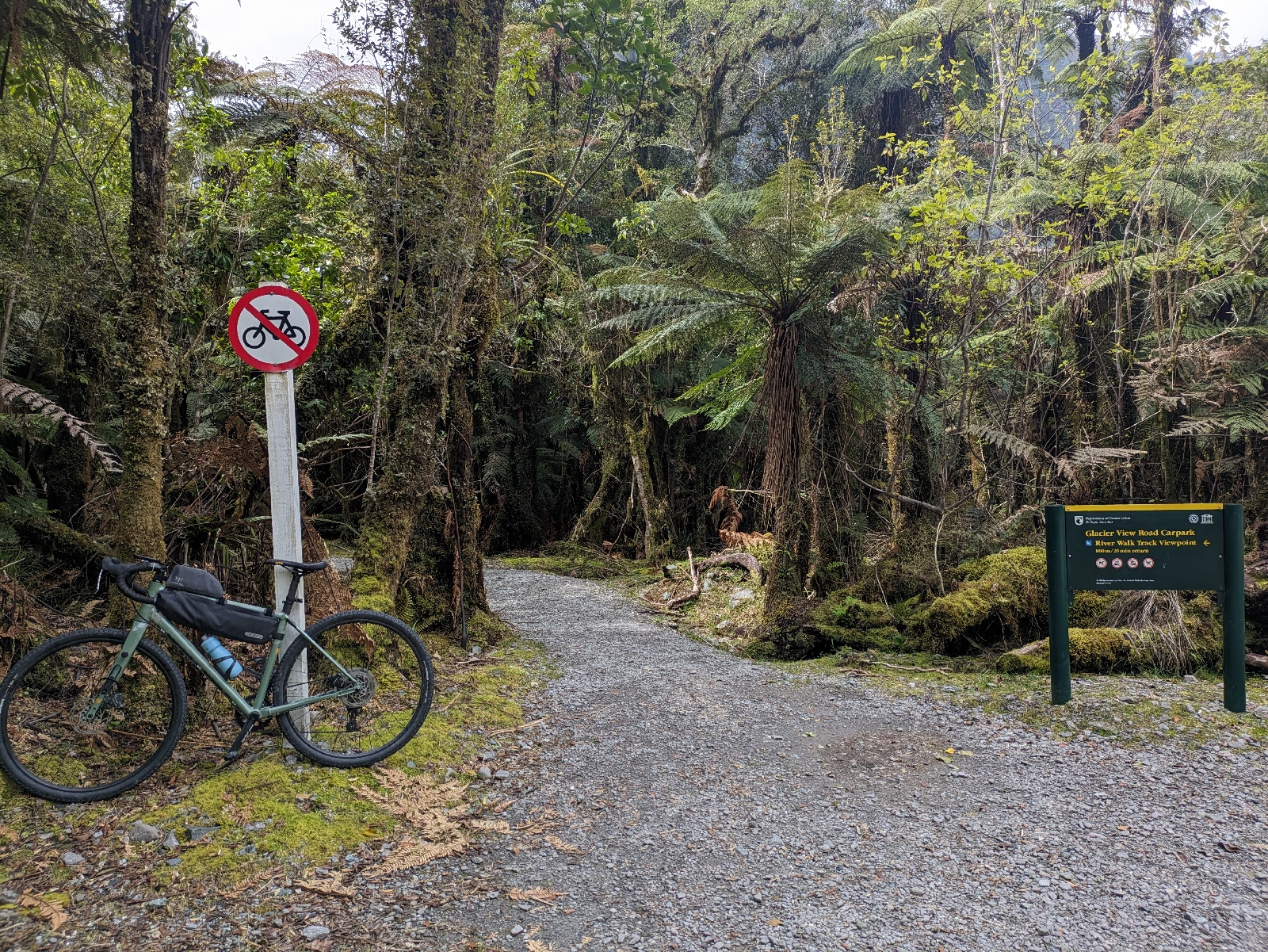
I find the gravel path I'm supposed to take to Wanaka.
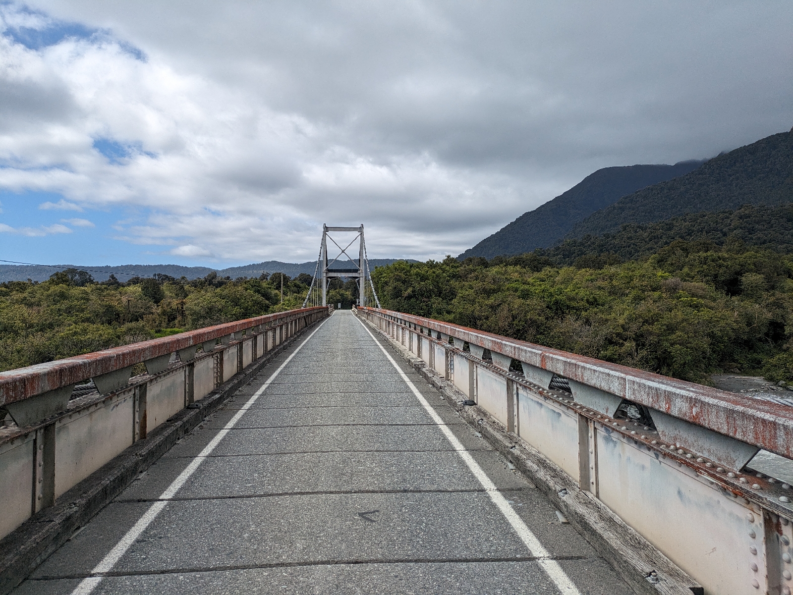
It's beautiful until I get to this swinging bridge that an old woman walking a dog tells me I can bicycle on. I walk across.
This is either river or Wanaka Lake outlet.
The trail is unlike anything that exists in the US. I am 10 meters above the water. There are portions of the path that are washed away. Walkers and dogs and mountain bikes come at me from the opposite direction.
I have been to Wanaka at least twice, but remember nothing of the town. It is so built up, I think I'm riding into Queenstown when I finally arrive. I promise myself I'll stay up late and not depart until after breakfast.

I think the GPS missed like 5k and 100 m of climbing. Here's the video.

Saturday, October 28, 2023

Day 8 Fox Glacier to Haast

Distance: 120 km (+ a few to get to and from town)
Time: 6 hours 12 minutes (plus a few more to get to and from town)
Travel Modalities: Cycling

I seem to have twisted an ankle on a glowworm walk in the dark last night in Fox Glacier. I didn't see any gloworms, but I did see a possum carrying a baby on her back. That was cute. I'm impressed with how well the phone takes photos in the dark.
It is barely above freezing an hour into the ride. I stop at a shelter at the start of the Copland Track to warm up and eat chocolate. There is a bus schedule. If I wait an hour, I can be on a bus to Queenstown. I would do this, but I've already paid for tonight's hotel.
I ride through moutain passes, rimu forests, and cow pastures. I had thought the rest of my journey would be inland, but I start seeing signs for "photo spot Bruce's Bay 8 km". I count down the km, until I get to a sign that reads "photo spot next 2 km" so I don't know if I took this photo in the correct place.
61 km into the ride, I reach the first open establishment serving, well anything. Aside from unmanned free range egg stands (which I consider buying and eating raw), there is nothing at all. The ooen establishment is a salmon farm. 
They have a cafe. I order a side of salmon with my eggs. 
This appears to be a stop for tourist busses on the way to Queenstown. The place is empry when I get there, and packed with Australians when I leave. One of them takes my picture, because I don't have any in my winter gear and probably will never wear this much again.
I stop at Lake Pariga. The sandflies are agressive and manage to instantly find the few parts of my body not covered by cycling gear. There's a couole meditating in mosquito nets. I steal their souls withiut asking permission.
 I stop at what I think is Shipwreck Cove, or something like that. There are short walks in all directions I'm supposed to do, but my ankle likes walking even less than biking. Theres an elevated platform that promises views. They are incredible in all directions. 
Climbing up is terifying, particularly in bike cleats. I calculate how likely I am to die on the way down.
I stop at the i-site, which my route guide says is the best attaction in Haast. It is built inside of the wetlands. 
I am perturbed to see that I've booked a hotel 3 km from town. There's not too much to the town of Haast, so this wouldn't be a problem except 1) I'm out of food, and the meager store selling food is in town and 2) The Monteith's Tour gave me a coupon for a beer in a West Coast pub. I've been carrying it for 350 km waiting for a pub to line up with somewhere I can safely have a pint. Haast is my first and last chance. I am more than a litle.unhappy to be back on the bike. 

Relive video I'm not making one of the ride to and from town unless there's super high demand.

Friday, October 27, 2023

Day 7 Harahari to Fox Glacier

Distance 97 km
Time 5 hours 30 minutes
Travel Modalities: cycling, walking as mandated by law.
My windows are frosty when I depart. I am reminded of living in Napier.
I make the foolish mistake of wearing my regular socks. I am afraid I have frostbite, so I stop to change. It is even colder during the 10 seconds I am barefoot. I wish I had non-waterproof warm socks.
Still cold, I decide to push a little harder than in previous days. Minimal gravel, it's not a steep day. With effort, the bike goes 24 kmh. The wide tires, the baggage, and my exhaustion level are conspiring to make this a long day.
I stop at the first cafe/convenience store/souvenir shop (30k away) because nothing was open in Harihari when I left. I regret it as soon as I'm back on the bike and swear off flat whites and pies until Queenstown.
I pass a couple of lakes and stop at one so that nobody will reprimand me for skipping an important lake. I hope I picked the correct lake. The sandflies attack and I flee.
I cannot stop taking pictures of snow.
My info says Franz Josef Glacier is no longer worth seeing and I should go to Fox Glacier. I check into the (government) info center and the ranger does her best to not admit this. She tells me the smoke/ash from the Aussie fires discolored both glaciers and caused them to reflect less light. Which I guess is bad for glacier health. She warns me about the climbs I have ahead, which her cycling friends call the triple bypass.
I force myself to eat before said climbs. I realize I ate this exact same dish in the same restaurant the last time I was in Franz Josef. Nico probably ordered it.
I stop at the bottom of the first hill to remove clothes and to take a picture of my favourite road sign ever.
I stop at the top of the third hill to put clothes back on. I am beyond cold on the way down.
I check into the hotel and lighten up the bike as the (Fox) glacier is past town. 500 m from the closest viewing point I'm supposed to lock up my bike. But the lock i've been carrying for 400 miles is in the hotel. I walk the bike and hope I won't be arrested.
Last time I was here, you could touch the glacier. People were complaining that 10 years prior, the trail followed the glacier for 2 km. It is still stunning.
I'm terrified of bridges but force myself to photograph it on the way back.

The receptionist at the hotel recommends one restaurant over the other three in town. This is unusual behavior for a Kiwi and I wonder if she has a stake in the restaurant. I order a lot of food. The potato leek soup is excellent. The lamb ragout grows on me.

The GPS split today's ride in half.